Cumberland Island National Seashore Camping Permits
- Price:
- $9 - $40 per night
- Rating:
- 4.7 stars (682 reviews)
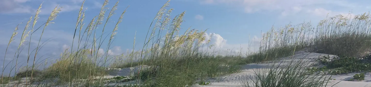
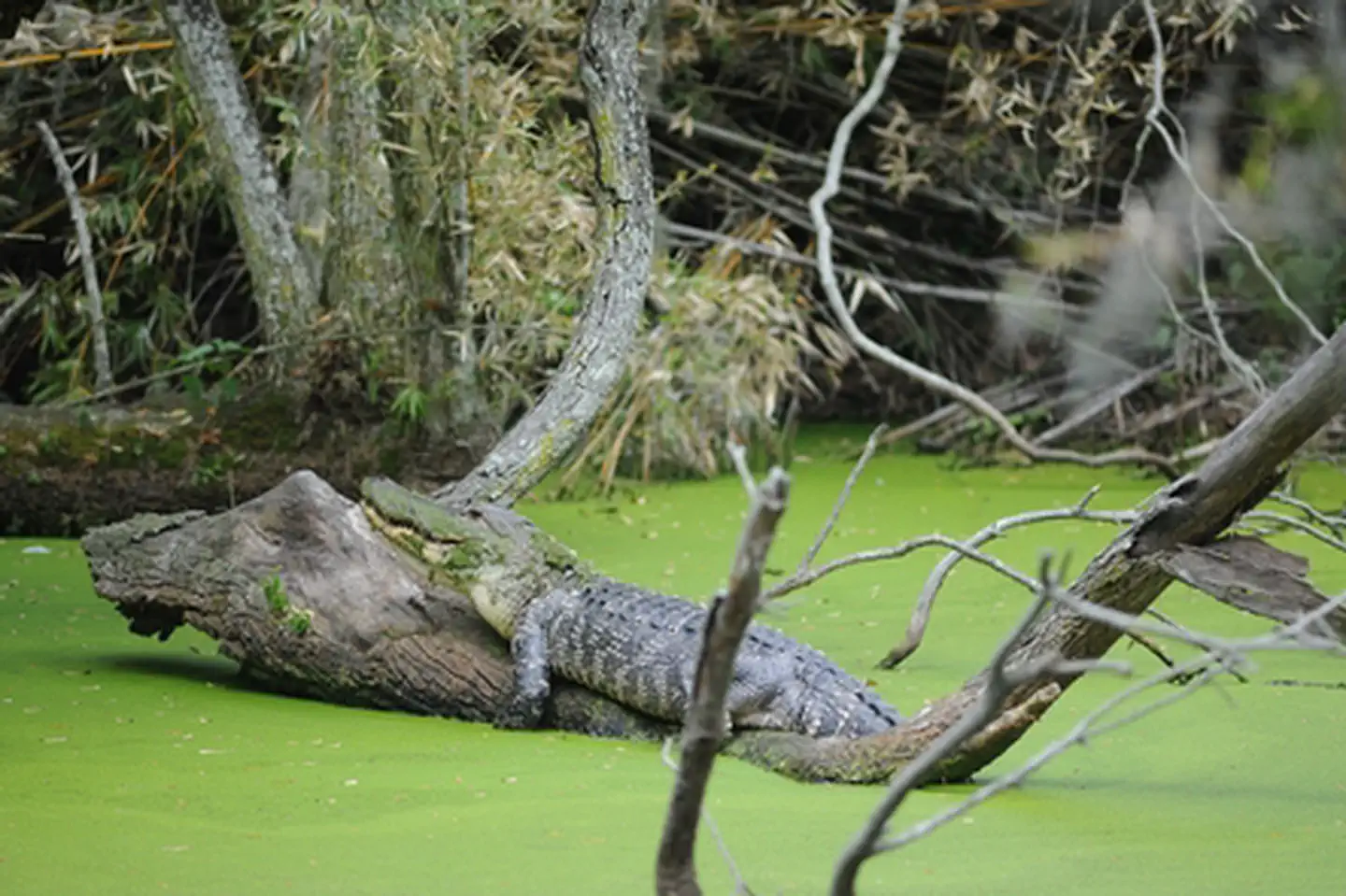
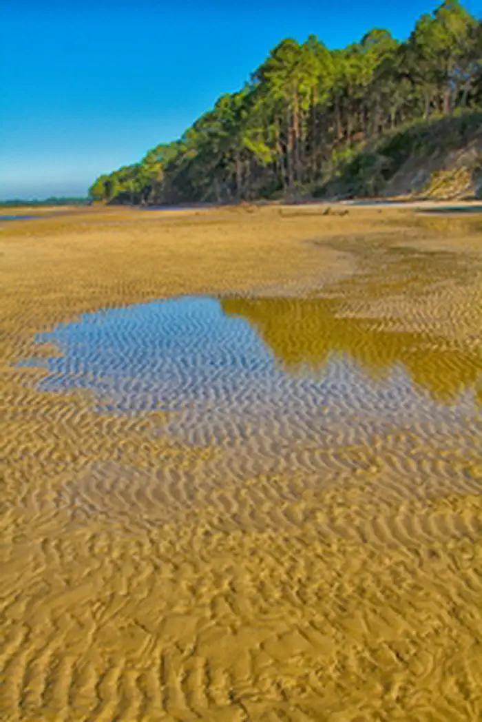
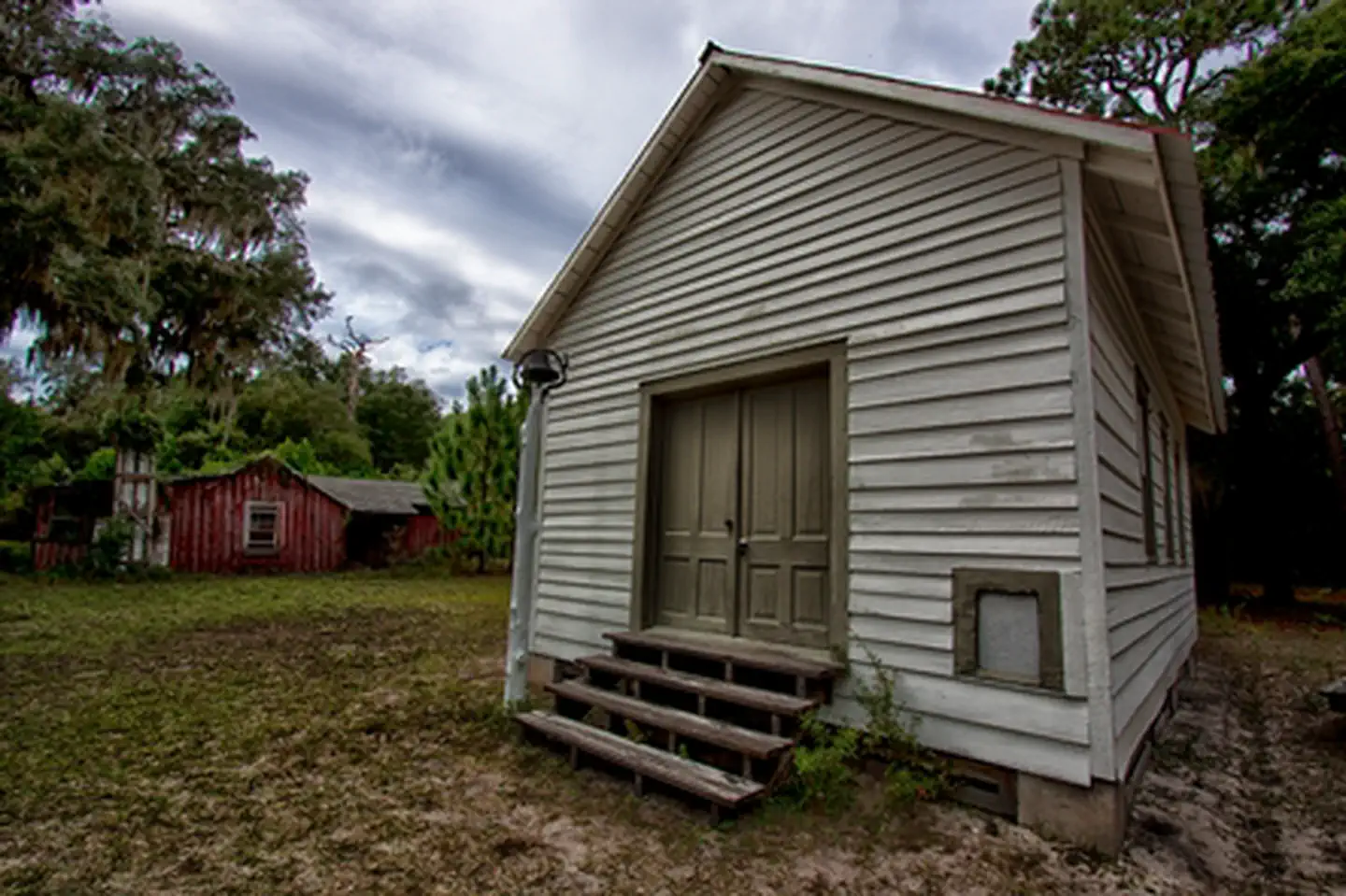
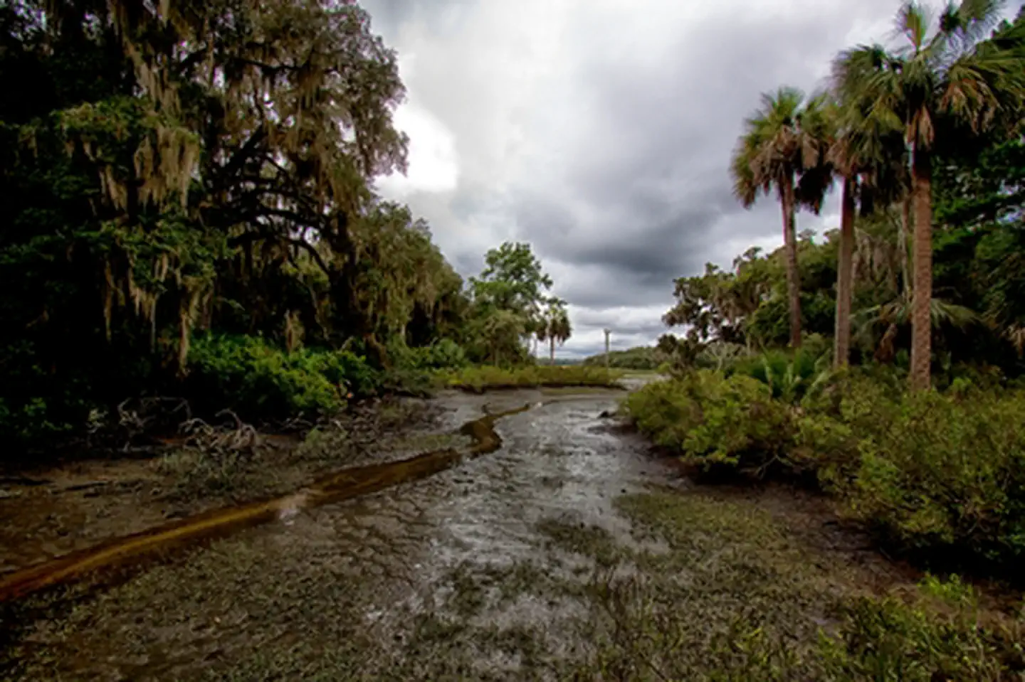
Cumberland Island National Seashore is managed by National Park Service and is located near St. Marys, Georgia. St Marys is the gateway to Cumberland Island, Georgia's largest and southernmost barrier island. Here pristine maritime forests, undeveloped beaches and wide marshes whisper the stories of both man and nature. Natives, missionaries, enslaved African Americans and Wealthy Industrialists all walked here. Cumberland Island is also home to over 9,800 acres of Congressionally designated Wilderness.
Cumberland Island National Seashore offers 1 campground with various amenities and settings. From developed campgrounds with full facilities to primitive backcountry sites, there are options for every camping style.
Popular activities at Cumberland Island National Seashore include:
Cumberland Island National Seashore is a popular destination. Campground reservations typically open several months in advance. For peak season visits, book as early as possible. Check individual facility pages for specific booking windows and availability.
Cumberland Island is only accessible by ferry or private boat. These directions are to the mainland visitor center in St. Marys, GA. Driving Directions To reach the visitor center from Interstate 95: • Take Exit 3 for US 40 • Take US 40 East toward “Historic Downtown St. Marys” • US 40 becomes Osborne Rd. Continue on until you reach the waterfront • Turn right on St. Marys Rd • The visitor center will be two blocks down on your left (113 St. Marys St W, St Marys GA 31558)
GPS Coordinates: 30.85857500000000, -81.45253599999999
Phone: (912) 882-4336
Additional Information: