George Rogers Clark National Historical Park
Overview
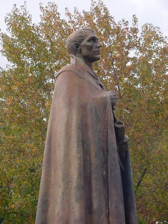
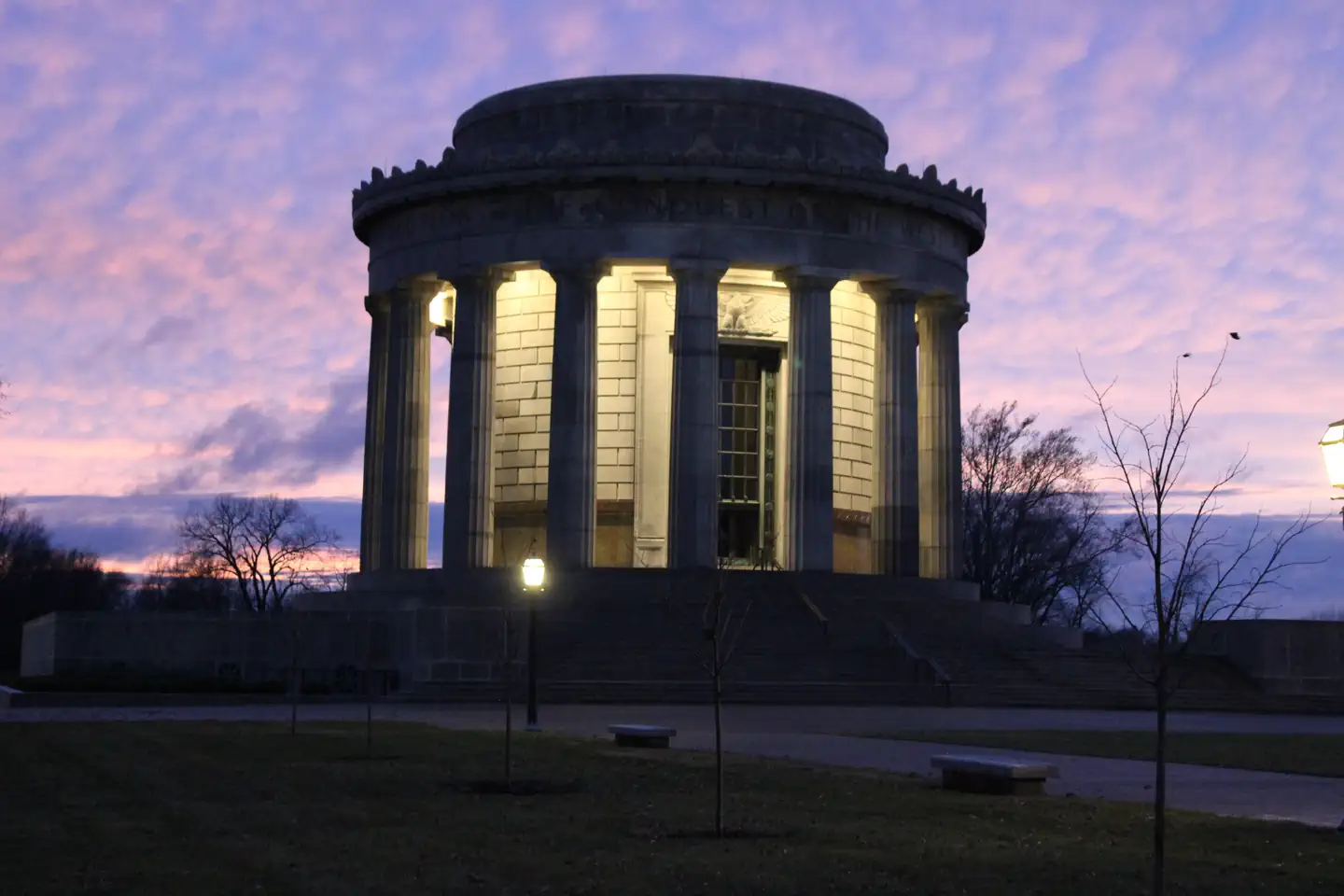
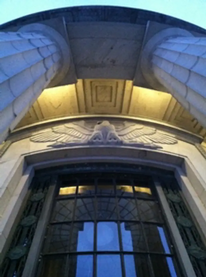
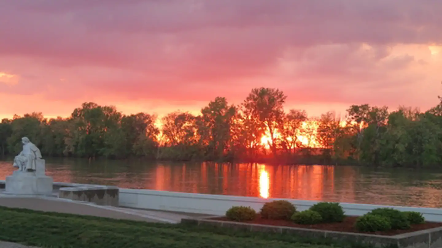
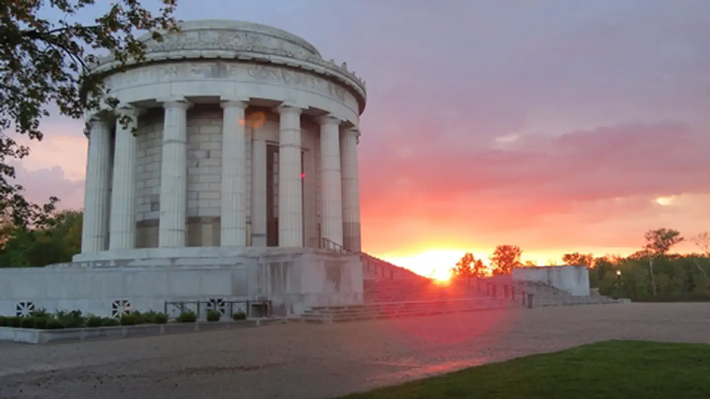
George Rogers Clark National Historical Park is managed by National Park Service and is located near Vincennes, Indiana. The British flag would not be raised above Fort Sackville Feb. 25, 1779. At 10 a.m., the garrison surrendered to American Colonel George Rogers Clark. His American army, aided by French residents of the Illinois country, had marched through freezing floodwaters to gain this victory. The fort’s capture assured United States claims to the frontier, an area nearly as large as the original 13 states.
Things to Do at George Rogers Clark National Historical Park
Recreation Activities
Popular activities at George Rogers Clark National Historical Park include:
Nearby Activities
- Historic & Cultural Site
- Picnicking
Plan Your Visit
Getting There
The George Rogers Clark National Historical Park is located within the city of Vincennes, Indiana. Evansville is approximately 50 miles to the south and Terre Haute is approximately 50 miles to the north. Highway 41 provides good roads from the north or south. Highway 50 provides access from the east and west. From Hwy 50 east and west or from Hwy 41 from the north use the 6th Street exit. On Hwy 41 from the South use the Willow Street exit. From there follow the blue directional signs for the park.
GPS Coordinates: 38.67912700000000, -87.53545200000001
Contact & Resources
Phone: (812) 882-1776
Additional Information: