Tupelo National Battlefield
Overview
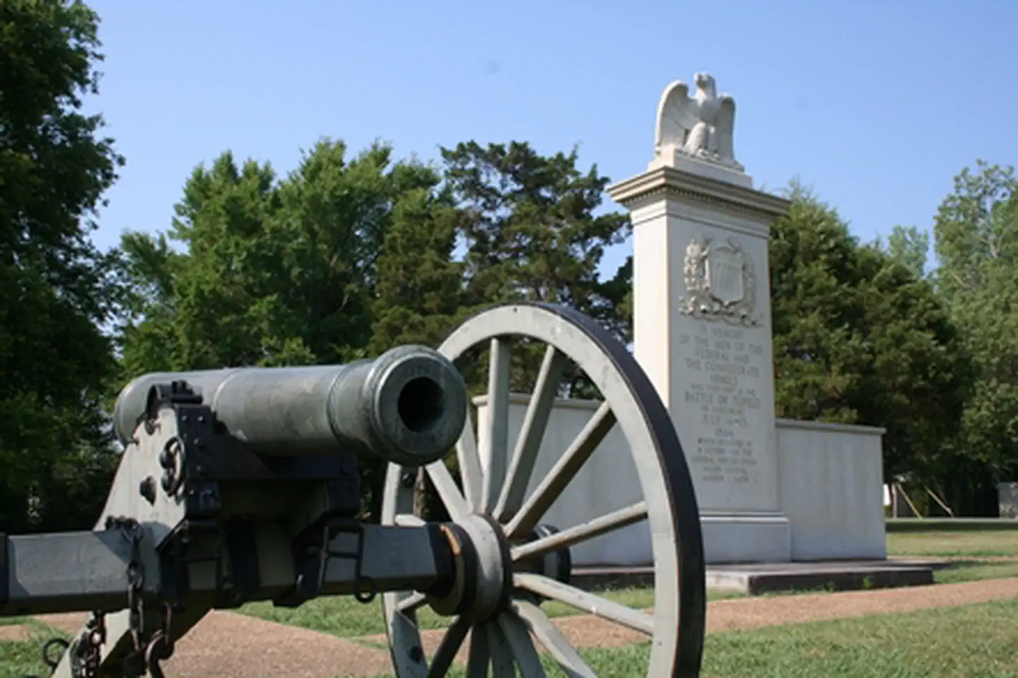
Tupelo National Battlefield is managed by National Park Service and is located near Tupelo, Mississippi. In July, 1864, Union forces, including men from the United States Colored Troops, marched into Tupelo, Mississippi. Disorganized Confederate soldiers fought fiercely but could not overpower the federal troops. Neither side could claim a clear victory, but Union troops had succeeded in their main goal: keeping the Confederates away from Union railroads in Tennessee.
Things to Do at Tupelo National Battlefield
Plan Your Visit
Getting There
Tupelo National Battlefield (NB) is a one-acre monument located on Main Street, Tupelo, Mississippi. Main Street in Tupelo is also known as Highway 6 and Highway 278. Tupelo NB sits on the south side of Main Street on the west side of Tupelo. Exit off the Natchez Trace Parkway onto Highway 6 (near Milepost 260), head east, into Tupelo. Travel one mile east and find Tupelo NB on the right side of Main Street. There is limited parking available adjacent to the monument.
GPS Coordinates: 34.25557700000000, -88.73708600000001
Contact & Resources
Phone: +1 (800) 305-7417
Additional Information: