Ohl Olsen Group Campground
- Price:
- $60 - $80 per night
- Rating:
- 5.0 stars (2 reviews)
Chappie/Shasta Off-Highway Vehicle Recreation Area is managed by Bureau of Land Management and is located near Redding, California.
Remember your OUTDOOR ETHICS when enjoying your public lands. Please RECREATE RESPONSIBLY.
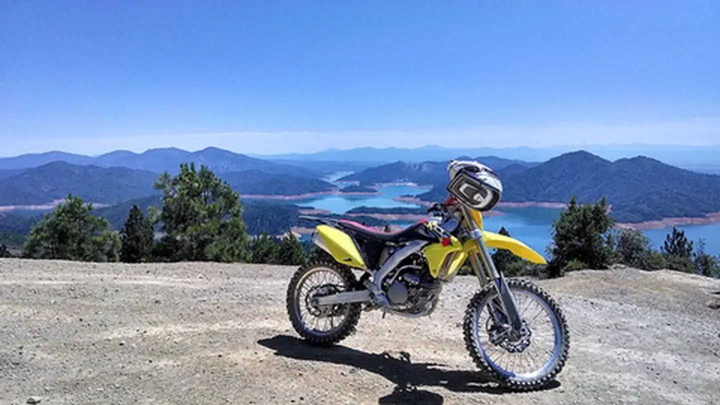
Visitors to the rolling, brushy hills near Shasta Lake in northern California will find off-highway vehicle (OHV) riding challenges for all abilities. More than 250 miles of roads and trails are open to motorcyclists, all-terrain vehicle drivers and four-wheelers. The area is near massive Shasta Dam and Shasta Lake, and there are overlooks of the Sacramento River below the dam. Wildlife species in the area include osprey, bald eagle, mule deer, and bear. This area was named after former U. S. Congressman, Eugene Chappie. The area is partially by the California State Parks OHV program.
Chappie/Shasta OHV Recreation Area is open year-round.
For more OHV opportunities, visit these other BLM Managed Off-Highway Vehicle Areas located in Northern California and Nevada:
Chappie/Shasta Off-Highway Vehicle Recreation Area offers 2 campgrounds with various amenities and settings. From developed campgrounds with full facilities to primitive backcountry sites, there are options for every camping style.
Popular activities at Chappie/Shasta Off-Highway Vehicle Recreation Area include:
Chappie/Shasta Off-Highway Vehicle Recreation Area is a popular destination. Campground reservations typically open several months in advance. For peak season visits, book as early as possible. Check individual facility pages for specific booking windows and availability.
Ten miles northeast of Redding, west of Shasta Dam. Take Interstate 5 to Shasta Dam exit. Travel west on Shasta Dam Boulevard to Shasta Dam. Continue west across dam, staying on paved road to the staging area.
GPS Coordinates: 40.71299000000000, -122.43722400000000
Phone: 530-224-2100