Skyline Trail
Near Green River, Wyoming
Skyline Trail does not offer reservations through Recreation.gov. Please take a look at the area details below for more information about visiting this location. Enjoy your visit!
Overview
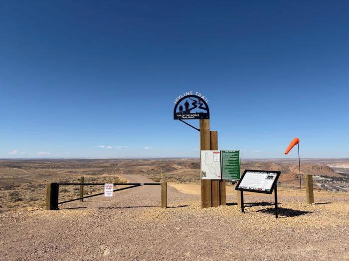
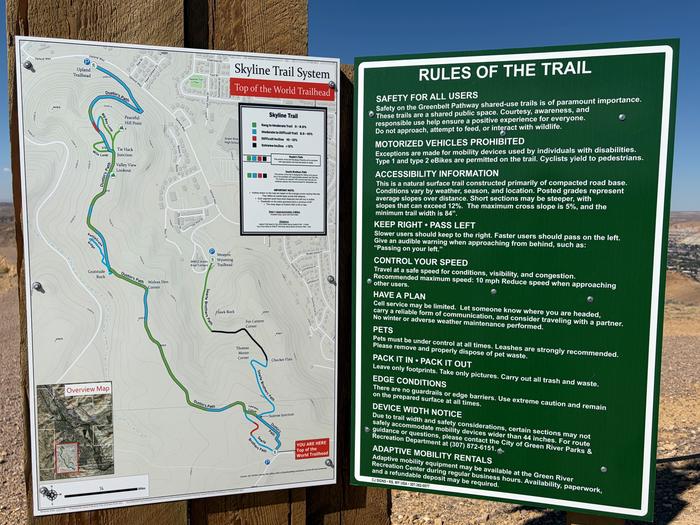
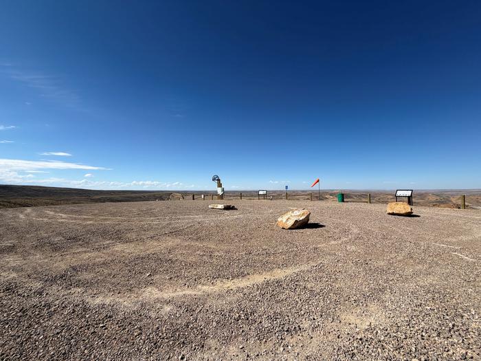
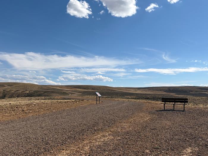
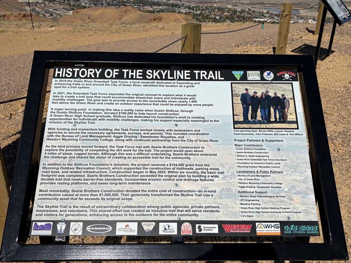
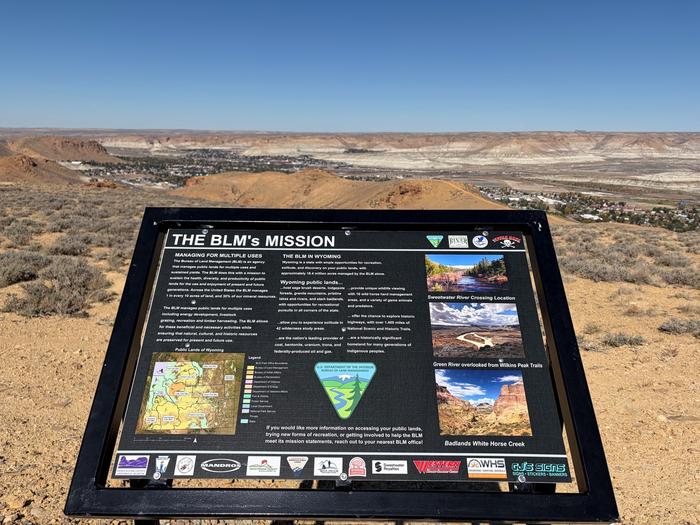
The Skyline Trail is a 4.1-mile trail system, designed with accessibility in mind. There are three different trailheads to access the system. The Upland Trailhead offers an accessible route but starts at the bottom of a large hill. The Western Wyoming Trailhead route does not offer an accessible route, due to passing through steep canyon terrain. The Top of the World Trailhead route offers the gentlest available accessible route, connecting down the hill to both other trailheads. Facilities along the trail include benches, overlook areas, and interpretive signage. The trail offers grand overlooks of the Green River Valley below, and the surrounding geologic formations.
The trail surface is soft, made of compacted road base. The trail is an average of 8 feet wide, with a max cross slope of 5%. ‘Dustin’s Path’, which is the accessible portion of the trail, features slopes varying from 0-12%. All areas with running slopes greater than 5% have flat resting intervals available within the trail tread.
The trail is managed collaboratively between the Green River Green Belt Task Force, the City of Green River Parks and Recreation Department, and the Bureau of Land Management. Many other landowners and local businesses participated in the construction of the trail, making this system a true community gem.
The trail is open to nonmotorized use. Motorized accessibility equipment is permitted.