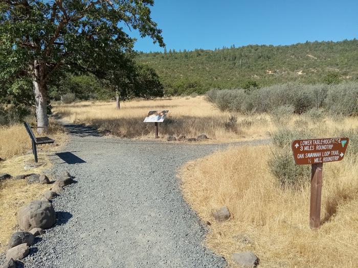
Lower Table Rock, Oak Savannah Trail
Overview
Lower Table Rock, Oak Savannah Trail is managed by Bureau of Land Management and is located near Central Point, Oregon.
This is a 0.5 miles round trip. Elevation gain: 80'. Difficulty: Easy. Estimated hours round trip: 0.5. Trail surfacing: Gravel. Additional trail miles and conditions on top: N/A. Description: Interpretive signs. Drinking water available? No.
Things to Do at Lower Table Rock, Oak Savannah Trail
Recreation Activities
Popular activities at Lower Table Rock, Oak Savannah Trail include:
Nearby Activities
- Accessible Facility or Activity
- Hiking
- Hiking Trail
Plan Your Visit
Getting There
Lower Table Rock: From Interstate 5, take Exit #33 at Central Point. Head east on East Pine Street for 1 mile. Turn north (left) on Table Rock Road. Drive 8 miles to Wheeler Road and turn west (left). The trailhead is located another 0.5 mile on the left.
GPS Coordinates: 42.46894000000000, -122.94544000000000
Contact & Resources
Phone: 541-618-2200
Additional Information: