Chimney Peak Wilderness
Overview
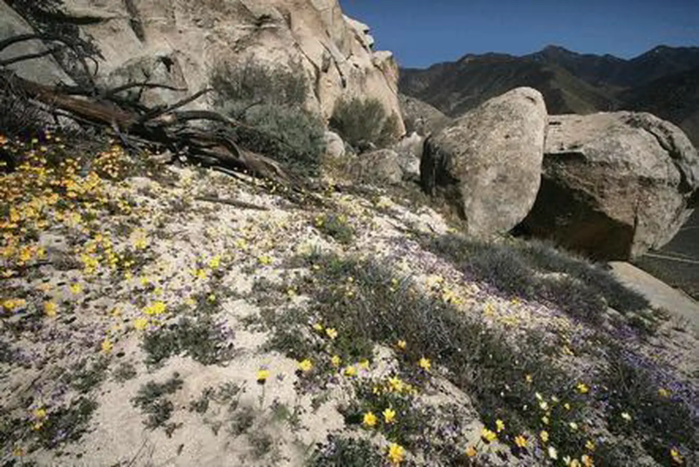
Chimney Peak Wilderness is managed by Bureau of Land Management and is located near Inyokern, California. Chimney Peak Wilderness encompasses rocky mountainous terrain dominated by pinyon pine with areas of sagebrush. There are scattered springs and streams, with their associated riparian habitat species, and seasonal wildflower displays. The Pacific Crest Trail passes through a portion of this wilderness on its way to the Domelands Wilderness.
Things to Do at Chimney Peak Wilderness
Recreation Activities
Popular activities at Chimney Peak Wilderness include:
Nearby Activities
- Camping
- Hiking
- Horseback Riding
- Hunting
- Photography
- Wilderness
- Wildlife Viewing
Plan Your Visit
Getting There
Follow highway CA-178 approximately 30 miles east of the town of Lake Isabella and turn north onto Canebreak Road. Follow this graded dirt road approximately 9 miles to the prominent junction of Canebrake and Long Valley/ Chimney Basin Roads. Chimney Peak Wilderness is on the left as you continue down Canebrake Road or the right as you continue onto Long Valley/ Chimney Basin Road. Best on trail access to this Wilderness is approximately 1.6 miles north of this junction on Canebrake road at a small Pacific Crest National Scenic Trail trailhead.
GPS Coordinates: 35.84273056000000, -118.08777499999999
Contact & Resources
Phone: 661-391-6000
Additional Information: