Castle Rock Hiking Trail
Overview
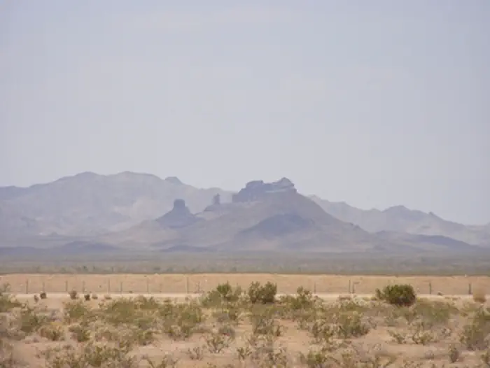
Castle Rock Hiking Trail is managed by Bureau of Land Management and is located near Vidal, California. Castle Rock's is accessible from California Highway 62, near the railroad crossing west of Vital Junction. The trail and Castle Rock itself are both located within the Turtle Mountain Wilderness area. The hike is not very strenuous, and is approximately 8 miles round trip.
Things to Do at Castle Rock Hiking Trail
Recreation Activities
Popular activities at Castle Rock Hiking Trail include:
Nearby Activities
- Biking
- Camping
- Hiking
- Horseback Riding
- Hunting
- Photography
- Wildlife Viewing
Plan Your Visit
Getting There
From Needles, CA, take U.S. Highway 95 south approx. 45 miles to CA State Highway 62. Turn right on Hwy 62 and drive west approx. 8 miles to BLM Route NS733 - Castle Rock Road. Turn right onto NS733 and drive approx. 9 miles to the Turtle Mountain Wilderness Area boundary. A small parking area is present at the trailhead.
GPS Coordinates: 34.26771800000000, -114.77895300000000
Contact & Resources
Phone: 760-326-7000
Additional Information: