Cupcake Mountain Hiking Trail
Overview
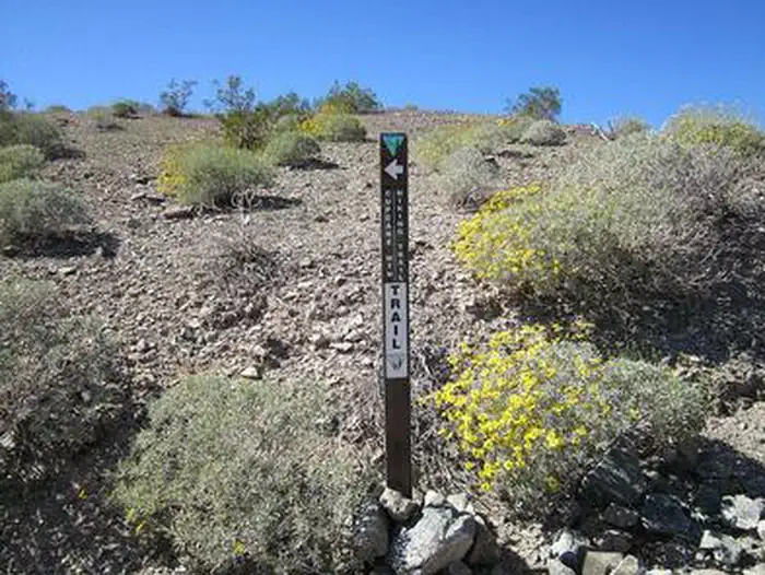
Cupcake Mountain Hiking Trail is managed by Bureau of Land Management and is located near Needles, California. Cupcake Mountain provides a towering presence from its vantage point southwest of Lake Havasu City, Arizona. The mountain was named by the Army Corps of Engineers in the early 1940's while they were building an airport and runway in the desert prior to the town being incorporated. The trailhead is located just off of a powerline access road along the border of the Whipple Mountains Wilderness area. The mountain itself is within the wilderness area. The hike is rather strenuous and is close to 5 miles long round trip.
Things to Do at Cupcake Mountain Hiking Trail
Recreation Activities
Popular activities at Cupcake Mountain Hiking Trail include:
Nearby Activities
- Biking
- Camping
- Hiking
- Horseback Riding
- Hunting
- Photography
- Wildlife Viewing
Plan Your Visit
Getting There
From Needles, CA, take U.S. Highway 95 south approx. 45 miles to CA State Highway 62. Turn left on Hwy 62 and drive east approx. 16 miles to Earp, CA. At the stop sign in Earp, drive straight onto Parker Dam Road. Follow this road approx. 13 miles to MWD Road (just south of the Parker Dam). Turn left onto MWD road and follow it approx. 5 miles to a fork in the road. Turn left onto BLM Route NS056 - Powerline Road. Stay on the powerline road for approx. 6 miles. Turn right onto a pullout for a powerline tower and park. The trailhead will be on the west side of BLM Route NS056.
GPS Coordinates: 34.37065100000000, -114.31209600000000
Contact & Resources
Phone: 760-326-7000