Payette River
Overview
Payette River is managed by .
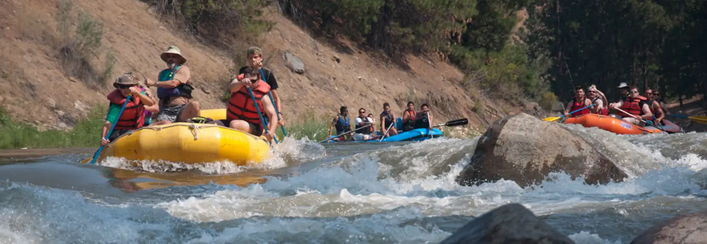
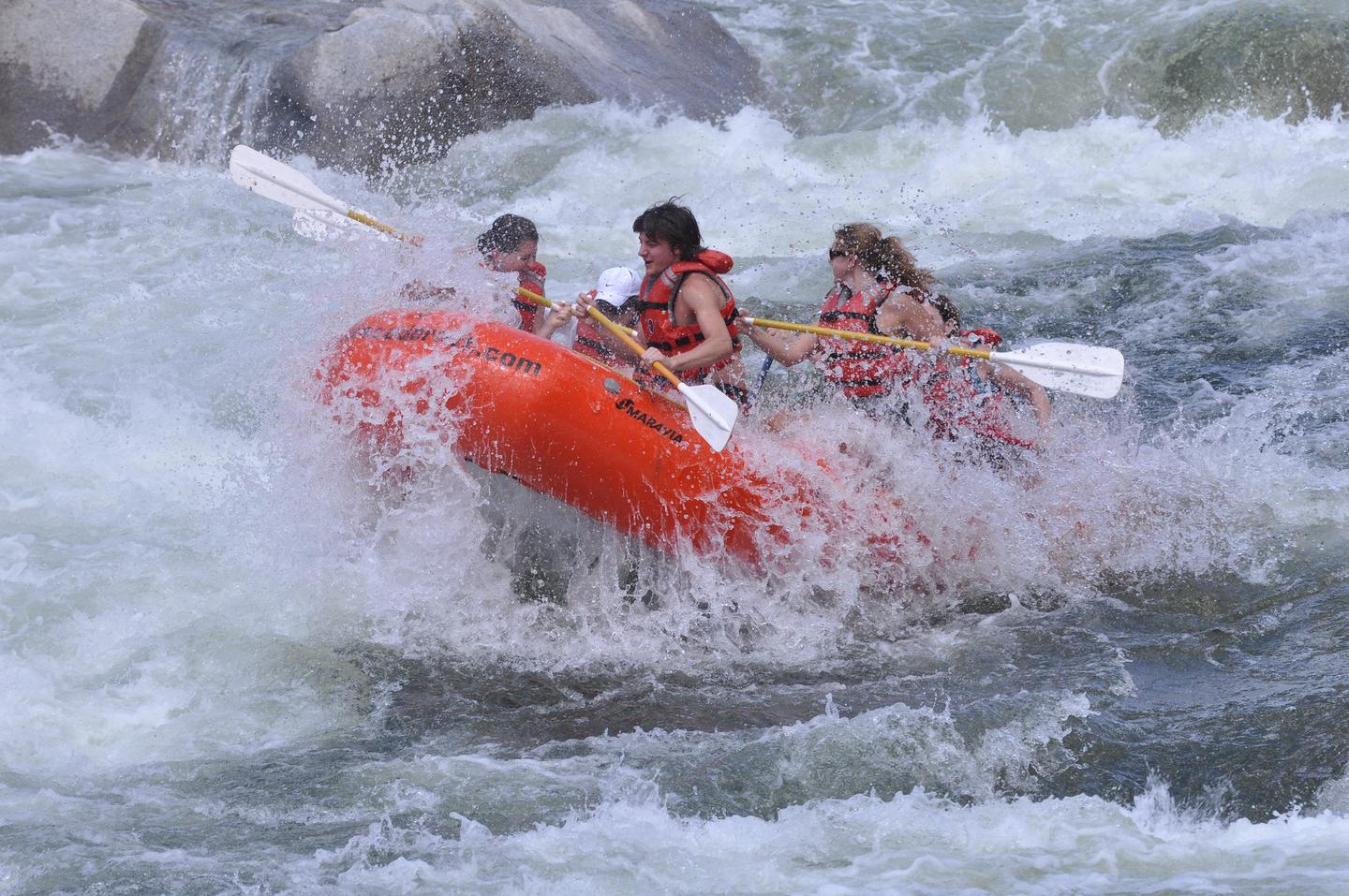
The Payette River provides white-water opportunities for boaters of all experience levels. The Main Payette offers the beginner a chance to hone their skills on Class I to III rapids. The Cabarton Section of the North Fork (Class II to IV) and the Staircase Section of the South Fork (Class III to IV) allow the intermediate boater to improve their skills. The Canyon Section of the South Fork is for Class IV boaters to enjoy. The North Fork Payette is for advanced Class V kayakers.
In an average year, streams carry more than 100 billion cubic feet of water from the high country, mostly in April and August. Dams at Cascade and Deadwood Reservoirs augment rivers flows as the runoff subsides, often extending the whitewater boating season into the fall.
The Payette River System is a Federal Fee Site. Daily permits or a seasonal pass are required for parking.
Things to Do at Payette River
Recreation Activities
Popular activities at Payette River include:
Nearby Activities
- Boating
- Fishing
- Paddling
- Picnicking
- Water Sports
Plan Your Visit
Reservation Tips
Payette River is a popular destination. Check individual facility pages for specific booking windows and availability.
Getting There
From Boise take State Highway 55 north past Horseshoe Bend. The Highway follows the Payette River. The South Fork Payette joins the North Fork Payette at Banks, Idaho.
GPS Coordinates: 44.09124400000000, -121.26350800000000
Contact & Resources
Phone: (208) 384-3300
Additional Information: