Palo Alto Battlefield National Historical Park
Overview
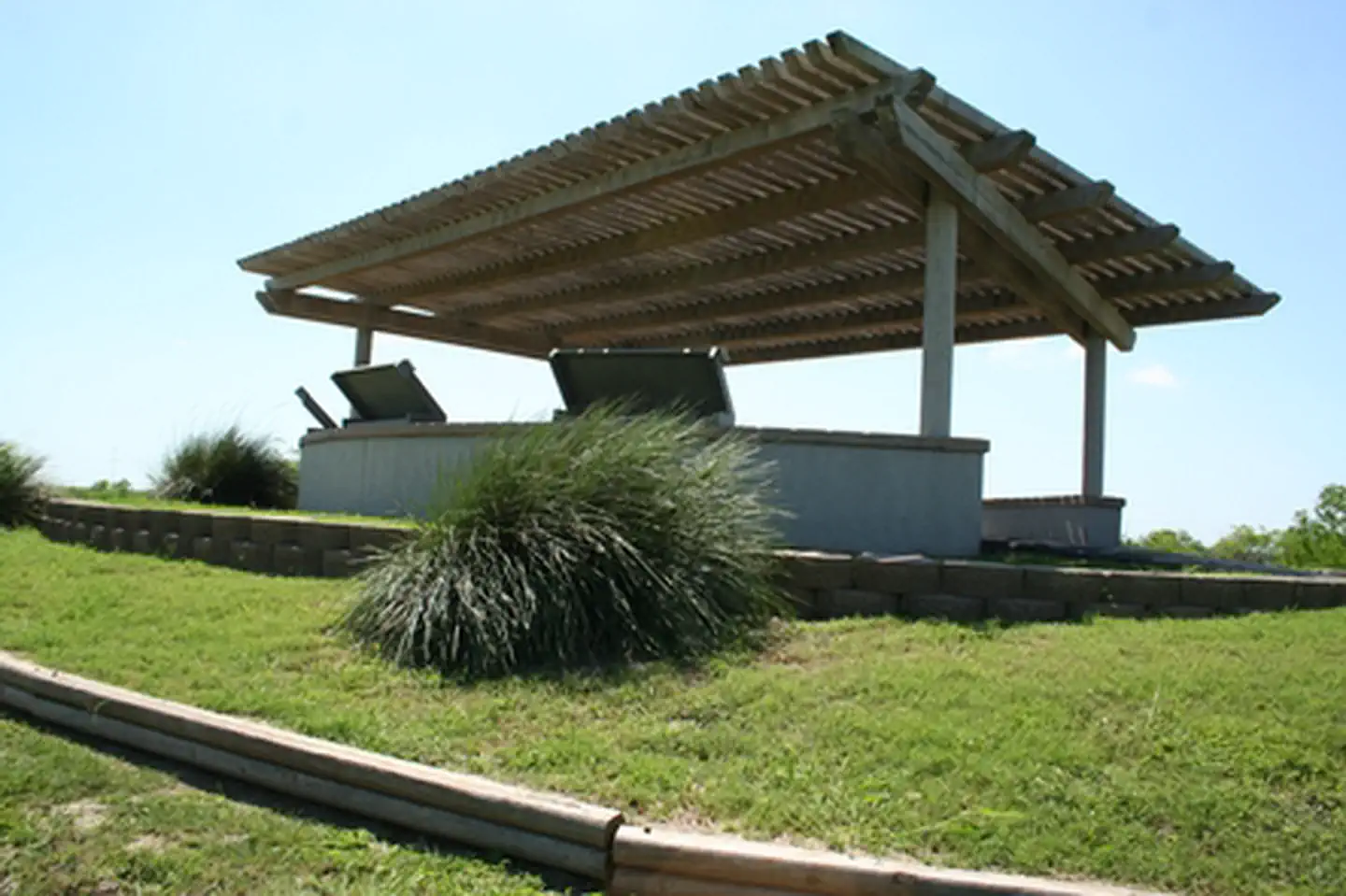
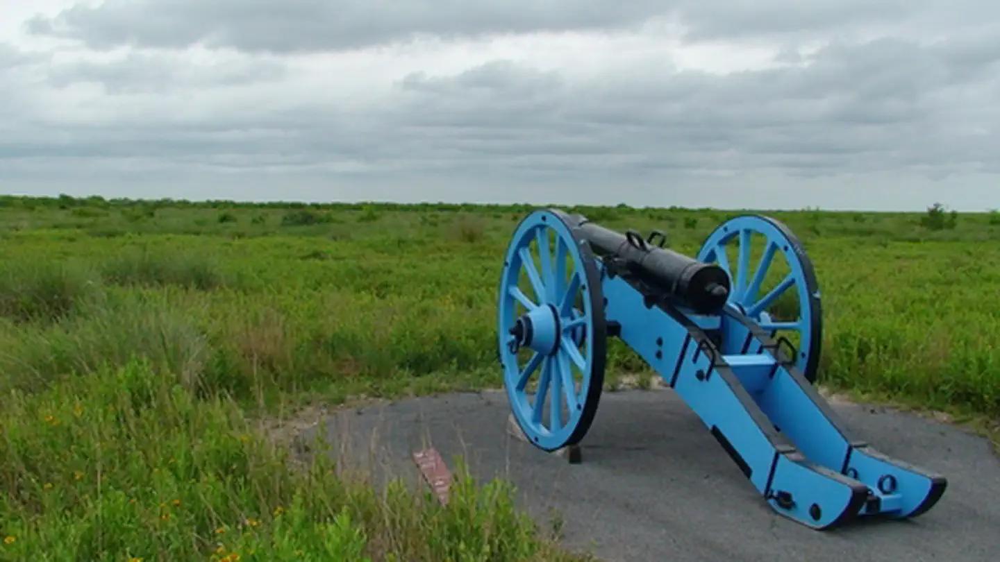
Palo Alto Battlefield National Historical Park is managed by National Park Service and is located near Brownsville, Texas. On May 8, 1846, U.S. and Mexican troops clashed on the prairie of Palo Alto. The battle was the first in a two-year long war that changed the map of North America. Although the two countries have developed strong bonds and friendly ties since the war ended in 1848, these neighbors continue to contend with the legacy of the war.
Things to Do at Palo Alto Battlefield National Historical Park
Recreation Activities
Popular activities at Palo Alto Battlefield National Historical Park include:
Nearby Activities
- Biking
- Hiking
- Historic & Cultural Site
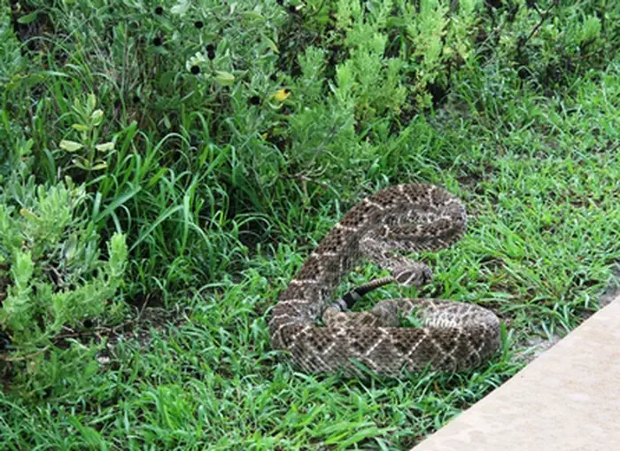
- Wildlife Viewing
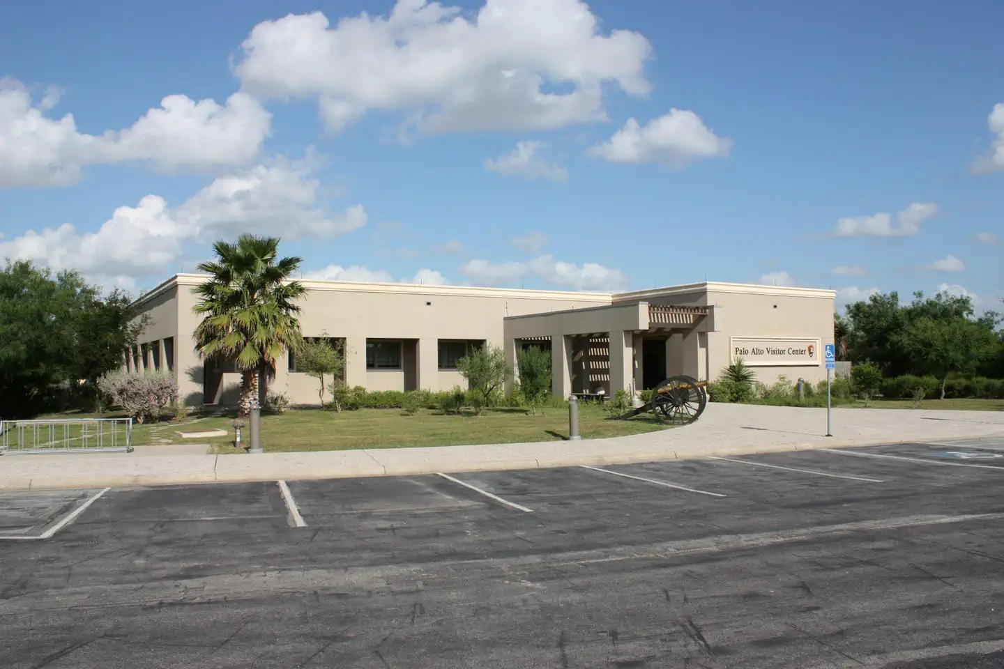
Plan Your Visit
Getting There
The park is located on Brownsville's north side, near the city of Los Fresnos. It is just north of the intersection of FM 1847 (Paredes Line Rd.) and FM 511/FM 550.
GPS Coordinates: 26.02387400000000, -97.46296100000001
Contact & Resources
Phone: (956) 541-2785
Additional Information: