Mccabe Flat Campground
- Price:
- $20 - $40 per night
- Rating:
- 4.5 stars (11 reviews)
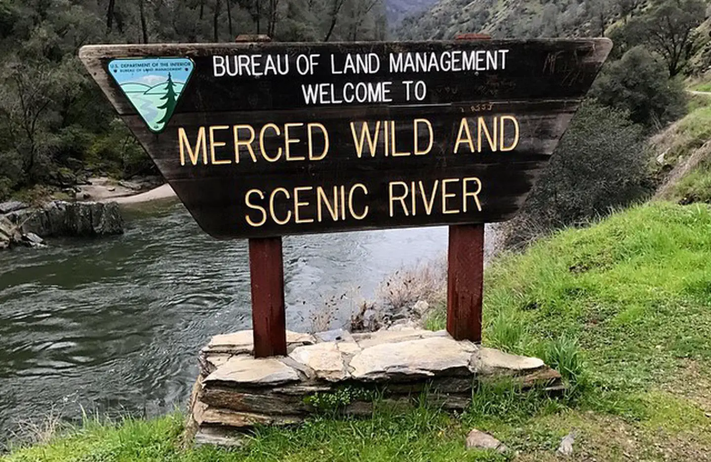
Merced River Recreation Management Area is managed by Bureau of Land Management and is located near Coulterville, California.
Remember your OUTDOOR ETHICS when enjoying your public lands. Please RECREATE RESPONSIBLY.
NOTICE: The Merced River Recreation Area (Cable Rock, McCabe Flat, Willow Placer, and Railroad Flat) will be CLOSED the week of October 2-8, 2023 for road construction. The Merced River Railroad Grade Road and the Burma Grade Road will be locked at dusk on Sunday night October 1, 2023. NO MOTOR VEHICLES | NO PEDESTRIANS | NO BICYCLES | NO DOG WALKING
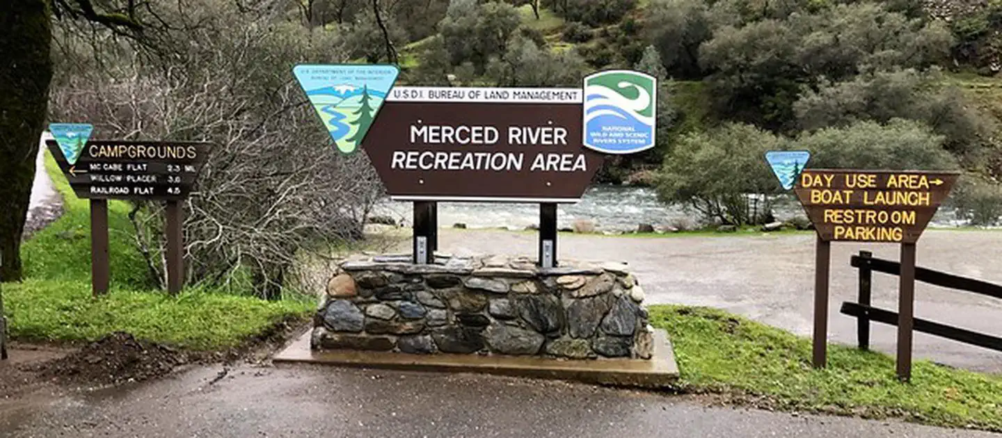
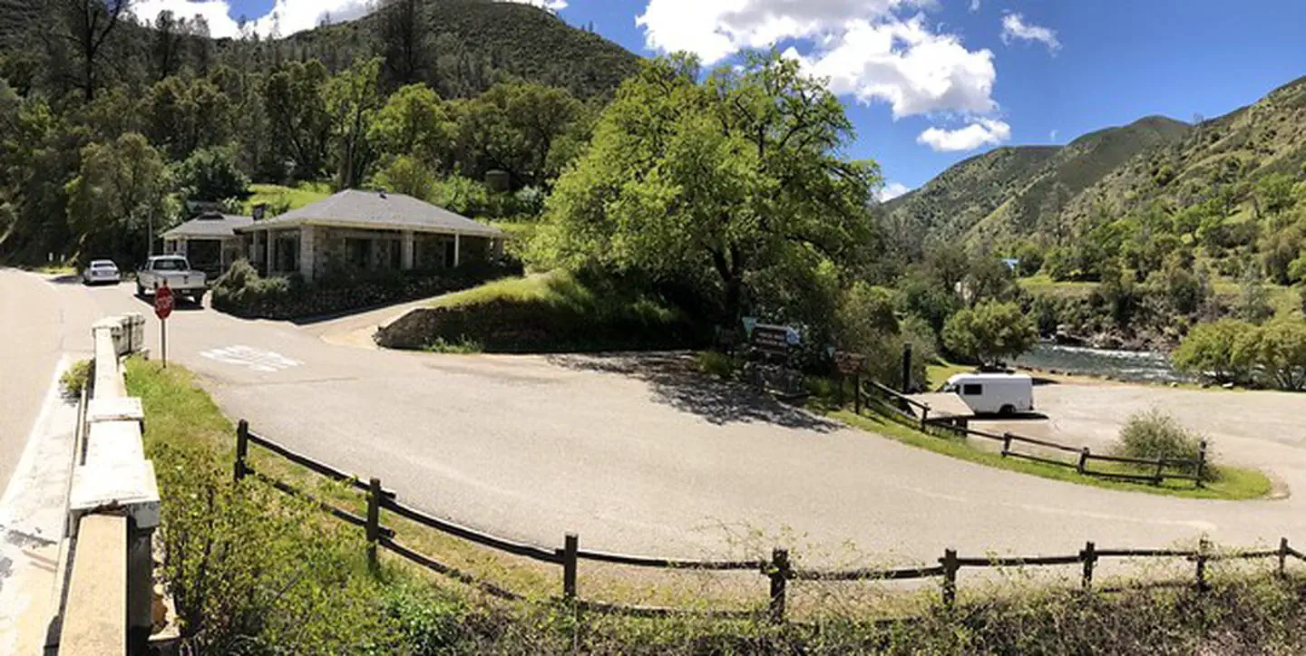
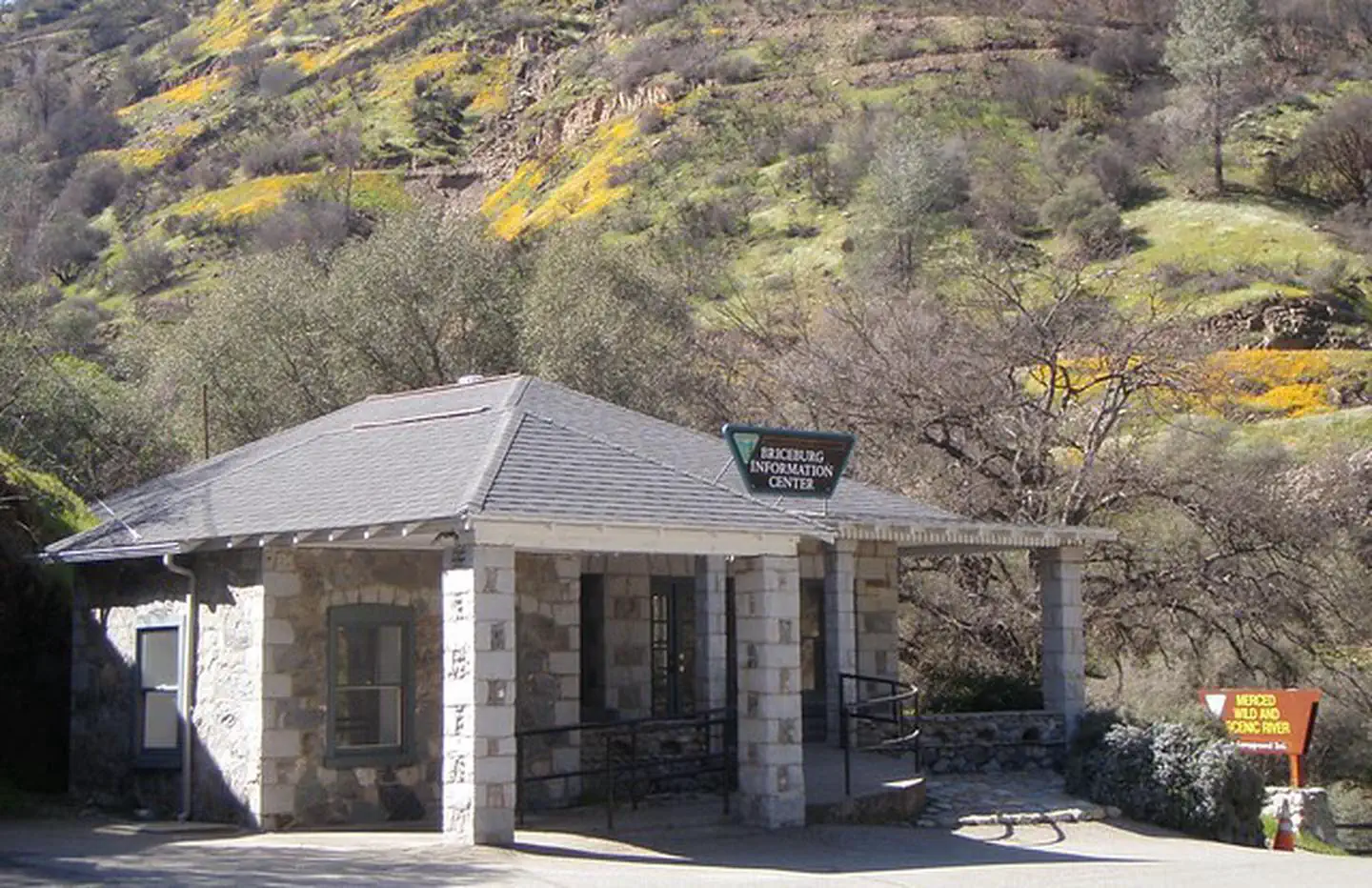
There are three (3) developed BLM campgrounds along the Merced River between Briceburg and Bagby. The campgrounds are accessed by crossing the suspension bridge just past the Briceburg Visitor Center and heading down river along the unpaved Briceburg River Road (old Yosemite Valley Railroad Grade). It is NOT recommended for trailers over 18 feet or large RV's to cross over the suspension bridge.
Campsites are $10/night/site. First come, first served. Bear-proof food storage lockers at all campsites.
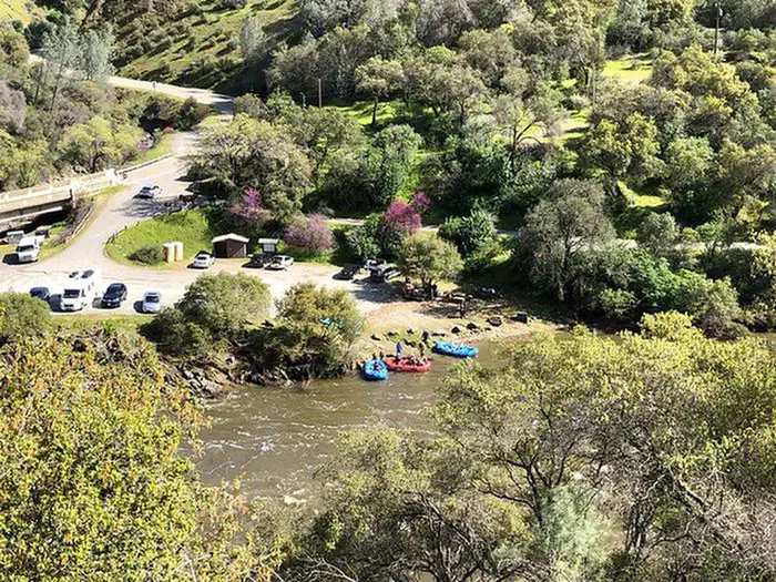
The Merced River Recreation Management Area is a very special place just downstream from Yosemite. It is well known for excellent whitewater boating, wildflower viewing, camping, swimming, and recreational gold panning/prospecting. Bird watching is good throughout the area most of the year. Fishing is popular for trout and bass along the entire river. Biking along the gravel roads and trails is popular with families and experienced mountain bikers alike. Hiking is great anytime of the year. Easy access, un-damned flows, and excellent whitewater boating attract rafters and kayakers during the spring runoff (April through July). Commercial rafting trips are available from BLM permitted outfitters.
The Merced River Trail continues on downstream from the end of the Briceburg River Road and brings hikers or bikers to the North Fork of the Merced River and beyond. The Burma Grade road is another popular route to explore on foot, bike, or high-clearance automobile. This scenic backroad climbs steeply out of the Merced River Canyon and eventually leads to Greely Hill or Buck Meadows (Highway 120).
Merced River Recreation Management Area offers 3 campgrounds with various amenities and settings. From developed campgrounds with full facilities to primitive backcountry sites, there are options for every camping style.
Merced River Recreation Management Area is a popular destination. Campground reservations typically open several months in advance. For peak season visits, book as early as possible. Check individual facility pages for specific booking windows and availability.
From the city of Merced, located on U.S. Highway 99, travel 40 miles east on State Highway 140 to the town of Mariposa. Then travel another 15 miles along Highway 140 to the Briceburg Visitor Center at the Merced Wild & Scenic River.
There are three developed BLM campgrounds along the Merced River between Briceburg and Bagby. The campgrounds are accessed by crossing the suspension bridge just past the Briceburg Visitor Center and heading down river along the unpaved Briceburg River Road (old Yosemite Valley Railroad Grade).
NOTE: Trailers over 18 feet and large RV's are not recommended crossing the suspension bridge.
GPS Coordinates: 37.59662000000000, -120.00355000000000
Phone: 209-379-9414
Additional Information: