Atchafalaya National Wildlife Refuge
Fish and Wildlife Service, Louisiana.
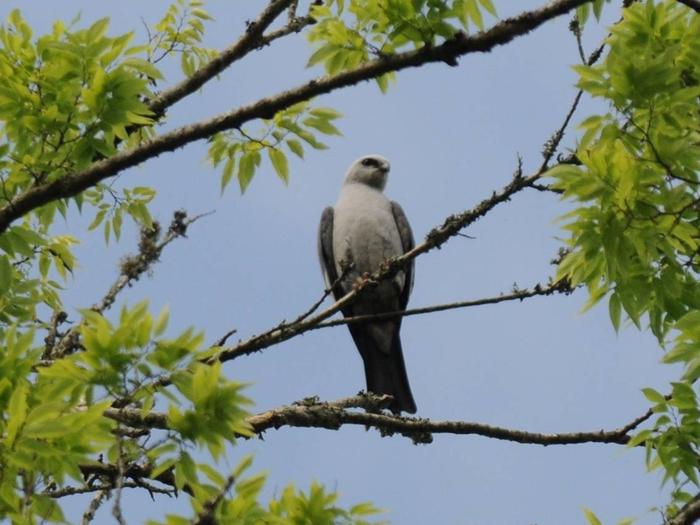
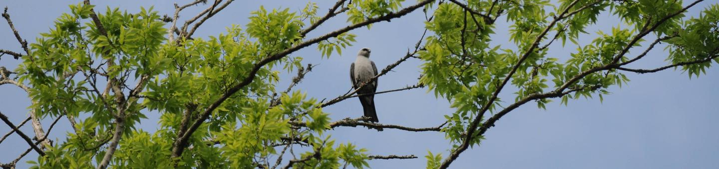
Atchafalaya National Wildlife Refuge, established in 1984, is located in the floodplain of the Atchafalaya River, a tributary of the Mississippi that flows into the Gulf of Mexico.
The refuge's conservation objective is to sustain representative habitats of this region — bottomland hardwood forests, cypress-tupelo swamps, bayous, and wetlands — to provide high quality and diverse habitat to support neotropical songbirds, the Louisiana black bear, waterfowl, and other native fish and wildlife species.
Atchafalaya National Wildlife Refuge, the Sherburne Wildlife Management Area, and the U.S. Army Corps of Engineers Bayou Des Ourses Area combine to form a 44,000 acre tract of wildlands, collectively referred to as the Sherburne Complex. The Louisiana Department of Wildlife and Fisheries owns 11,780 acres, the U.S. Fish and Wildlife Service owns 15,220 acres, and the remaining 17,000 acres is owned by the U.S. Army Corps of Engineers. The complex is managed as one unit by the Louisiana Department of Wildlife and Fisheries.
Atchafalaya means long river in the language of the indigenous people of the area. Tribes with a history in the Atchafalaya Basin include the Chitimacha, Attakapas, Opelousa, Houma, Choctaw, Coushatta and Alabama, Tunica-Biloxi and Avoyel, and Tensas.
Nearby Activities
- Birding
- Boating
- Camping
- Fishing
- Hiking
- Hunting
- Motor Boat
- Non-Motorized Boating
Directions
From Baton Rouge, LA, take U.S. Highway 190 west to the Atchafalaya River, then go south on Louisiana Highway 975 to the Sherburne WMA. You may also drive from Baton Rouge or Lafayette, LA by taking Interstate 10 to the Whiskey Bay Bridge. Exit onto Hwy 975 north onto a gravel road about 9 miles. Turn right onto Bayou Manual Road or continue north along the levee for more entrances. After prolonged heavy rainfall, a 4x4 may temporarily be necessary to access the refuge by vehicle.