Historic Columbia River Highway
Overview
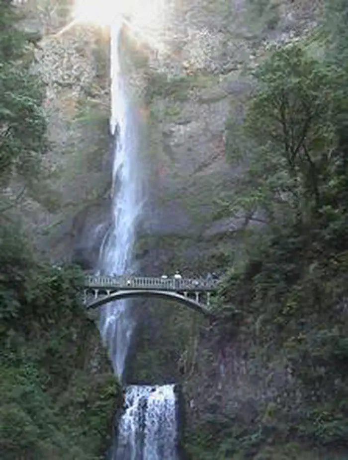
Historic Columbia River Highway is managed by Department of Transportation. Travel to magnificent overlooks that provide views of the Columbia River and waterfalls, including Multnomah Falls. Springtime has magnificent wildflower displays, including many endemic plants. The Columbia River formed the last leg of the Lewis and Clark Expedition and was part of the early route of the Oregon Trail.
Things to Do at Historic Columbia River Highway
Plan Your Visit
Getting There
Getting to the Byway:
Portland, OR
* Take I-84 east to Troutdale, exit 17.
* Take a left onto Historic Columbia River Highway and follow south to the start of the byway.
Navigating the Byway:
This linear byway has two sections, from Troutdale to the junction with I-84, and from Mosier to I-84 near the Dalles.
###Troutdale to Bonneville Dam Section###
* The byway begins on Jordan Road, northeast of Troutdale, OR.
* Travel south on Jordan Road and continue on Crown Point Hwy.
* Continue on to Historic Columbia River Highway.
* Follow the keystone-shaped signs through Springdale, Corbett, and the waterfall area to the junction with Interstate 84 (near Bonneville Dam), where the byway ends.
* Proceed east on I-84 to Mosier.
###Mosier to Dalles Section###
* Resume your byway drive by taking Exit 69 in Mosier to access US Hwy 30/ Mosier-The Dalles Highway.
* Follow the keystone signs through Mosier to Rowena Crest, and then to Chenoweth Creek, just west of the Dalles.
* The byway officially ends at the junction of US Hwy 30/ Mosier-The Dalles Highway and Hostetler Way in The Dalles, OR.
Contact & Resources
Phone: 541-308-1700
Additional Information: