Top of the Rockies
Overview
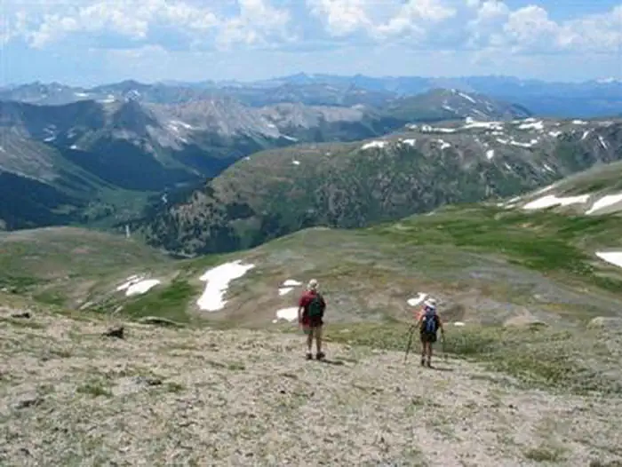
Top of the Rockies is managed by Department of Transportation. With altitudes seldom dipping below 9,000 feet, this byway earns its name. Visit historic mining railroad towns en route to historic Leadville, the highest incorporated community in the U.S. Old mining camps attest to the state's rich mining heritage. The route crosses the Continental Divide twice and traces the Arkansas River.
Things to Do at Top of the Rockies
Plan Your Visit
Getting There
Getting to the Byway:
Denver, CO
* Travel west on I-70 to the Copper Mountain exit at the
intersection of I-70 and CO-91 (Milepost 195).
* Exit at Copper Mountain and travel south on CO-91, the Top of the Rockies Scenic and Historic Byway.
Navigating the Byway:
This byway branches out in three directions from Leadville.
###Leadville to Eagle's Nest Wilderness Area###
* From Leadville take CO-91 north past Copper Mountain Ski Resort to the border of Eagle's Nest Wilderness Area, where this leg of the byway ends.
###Leadville to I-70###
* From Leadville take on US-24 north to Minturn.
* Continue north on US-24 to I-70 where this leg of the byway ends.
###Leadville to Aspen###
* From Leadville, travel south on US-24 and turn west on CO-82 (Independence Pass Road).
* This road takes you just past Aspen to Maroon Creek Bridge, where this segment of the byway ends.
Contact & Resources
Phone: 719-486-3900
Additional Information: