Eldorado National Forest Christmas Tree Permit
All on-line permits have been sold for the season.
A limited number of walk-in permits will be available upon the return of normal operations after the current lapse in federal government funding. Walk-in permits will be available at the Placerville and Amador Ranger District offices Mon-Fri 8 AM - 4 PM, and the Georgetown Ranger District office Saturdays 9 AM – 12 PM, until supplies are exhausted. $10 dollars each cash only, please no bills larger than $20.
Placerville Ranger District - 4260 Eight Mile Road, Camino, CA 95709. (530) 644-2324. 8:00 AM - 4:30 PM.
Amador Ranger District - 26820 Silver Drive, Pioneer, CA 95666. (209) 259-3774. 8:00 AM - 4:30 PM.
Georgetown Ranger District - 7600 Wentworth Springs Rd., Georgetown, Ca. 95634. (530) 333-4312 Saturdays only 9-12.
This permit allows you to cut a Christmas Tree within designated areas of the Eldorado National Forest! Begin the holiday season with an outing to cut the family tree. Christmas Tree Permits are being offered to the public in an effort to help reduce hazardous fuel ladders that have built up over years of fire suppression. Removal of excessive amounts of small trees from the forest will help create a healthier forest over time.
Lifelong memories are built during these special times and we are happy to help with any information gathering you'll need to make this trip a safe and enjoyable one. Please carefully review the information provided below and also the Eldorado National Forest webpage . If you have additional questions, Forest Service employees can provide up-to-date information about road and trail conditions and permissive cutting areas. Use this information to plan your trip and travel route.
A Permit must be purchased here for the tree you are going to cut. The permit is printed at home following purchase and carried with you as you venture to find your tree.
Maps are available to download below. There is a 4-page packet for the Eldorado National Forest Christmas Tree Cutting Areas that is suitable for printing. There are also maps for each ranger district that are georeferenced for use with mapping apps, such as Avenza . If you know the general area you are planning to visit, we recommend you select that area map to download or print.
Need to Know
Selecting Your Tree
Make sure you are not on private land. Private land is indicated in white on the Christmas Tree Cutting Area maps. Use the Avenza app or download the .kmz file to a mapping app on your smart phone to more accurately determine your location.
Tree Height: 20 feet maximum; Stump diameter 6 inches maximum (measured no higher than one foot above ground level); Stump height: cut the tree no higher than 12 inches above ground level.
If snow is on the ground, remove it from around the stump so you can accurately measure the stump and tree height.
Select pine, fir, or cedar. Do not cut any hardwood such as aspen or oak.
Take the whole tree of correct size for your home. Do not cut a larger tree than you need and then take the top.
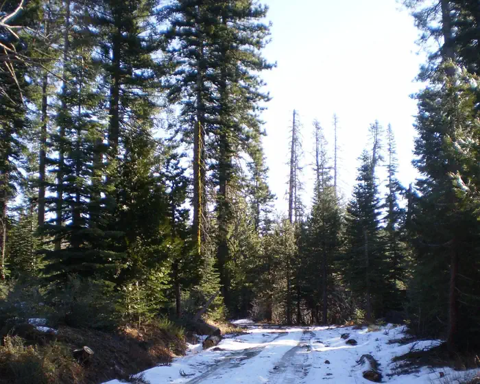
Do not cut isolated trees growing in the open. Choose a tree from a dense grouping to allow the remaining trees space to grow.
Where to Cut Your Tree
This permit allows the holder to select one Christmas Tree on the Eldorado National Forest. Refer to the Eldorado National Forest Christmas Tree Cutting Area maps to ensure the location you would like to visit to find your tree is included for this permit. The Eldorado National Forest is accessed by Highways 50 and 88.
The Mosquito and the Caldor Fire Areas are closed to Christmas Tree cutting , including National Forest Lands along Mormon Emigrant Trail, Silver Fork Road, and North-South Road. Portions of the King Fire area are also closed in order to give seedlings a chance to grow and forests to reestablish.
Permit holders are not to trespass onto private property when cutting their tree. Private property is shown in white on the maps. Be aware there is intermixed private property next to National Forest System lands throughout the Eldorado National Forest. Look for and respect private property signage.
Permit must be in possession when cutting and transporting tree(s). You must print your permit at home prior to coming to the Forest to find your tree. Printed permit is to be displayed on the dashboard of your vehicle. Sign and date in the Tree Cutting Date section of the permit once you cut the tree to transport. No "sticky tags" will be issued.
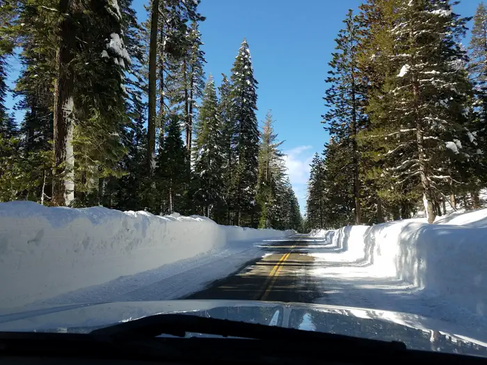
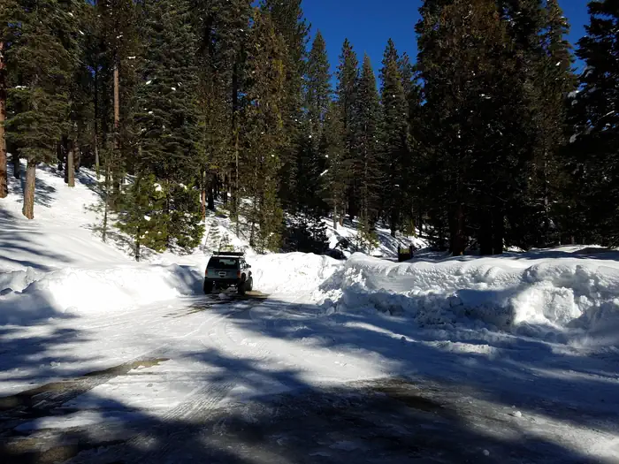
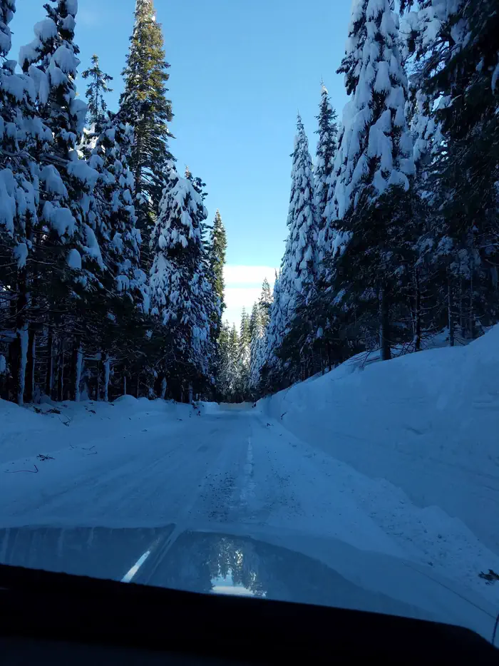
Motorized vehicles are only allowed on existing roads and trails that are open to the public. No off-road travel is allowed (unless by snowmobile in open-riding areas). Refer to the Christmas Tree Cutting Maps. Observe seasonal road closures and be prepared to hike to the cutting area to find a tree. Once it snows, very few forest roads are plowed so check conditions and be prepared.
Permit holders are reminded to park safely off the roadway and do not block gates. Be aware of snow removal equipment on the main highways and Ice House Road.
Planning Your Trip
Helpful Cutting Tips
Tools to bringing with you include a measuring tape; handsaw to cut your tree; gloves to protect your hands; boots to protect your feet; a tarp to sit on and/or to move your tree once it's cut; and rope or straps to secure your tree to your vehicle.
Choose a tree from a dense forested area, which will give the remaining trees more space to grow.
Cut the leftover branches from the stump and scatter them.
Sign and date your permit before transporting the tree. Be prepared to show your permit to a Forest Officer.
Once home, cut the bottom of the trunk off and place the freshly cut trunk in a bucket of water. Replenish water.
Do not select your tree inside of a developed campground or picnic area. If you noticed picnic tables, grills, or other features, please choose another location.
Permits are valid from November 2 to December 31, 2024. In order to accommodate our serving military members and their families or others celebrating a delayed Christmas, the last day to cut a tree is December 31st. Permits are non-transferable. No refunds.
How to Plan Your Trip
Print your permit at home and bring the hard copy with you on your tree cutting adventure. It's also recommended to print the Christmas Tree Cutting Area map of the area where you would like to cut your tree.
Before you leave home, be sure to measure the space where you plan to place the tree in your home (height and width), and measure the space in your vehicle where you will be transporting the tree. Bring rope to secure the tree to your vehicle.
Bring a map with you. Christmas Tree Cutting Area maps are available for download and use on smartphone with the free Avenza app. This will assist you to avoid private land and stay on roads open to vehicle travel. Be sure to download the maps at home prior to your trip as there may not be cell phone coverage where you select your tree. Don’t rely on Google Maps or other general mapping apps because it may not be up-to-date with Forest Service roads.
Start your day early. Be sure to find your tree and leave the woods before dark. Bring plenty of food and water with you as well as an overnight survival kit in case you become stranded.
Roads may not be plowed. Carry tire chains, shovel(s) and a tow chain. Be sure your vehicle has a full tank of gas. Bring a spare key and give it to someone else in your party. Don’t get locked out of your car! Park in areas so that traffic can get by safely, and do not block gates.
Cell service may be spotty or unavailable. Be sure someone knows where you are and when to expect you back. Check the latest weather conditions, forest warnings and road closures before you leave on your trip. Dress warmly and take extra dry clothes. Expect winter weather, including cold temperatures, snow and winds.


