John Day River Basin Developed Campgrounds
- Price:
- $5 per night
- Rating:
- 5.0 stars (1 reviews)
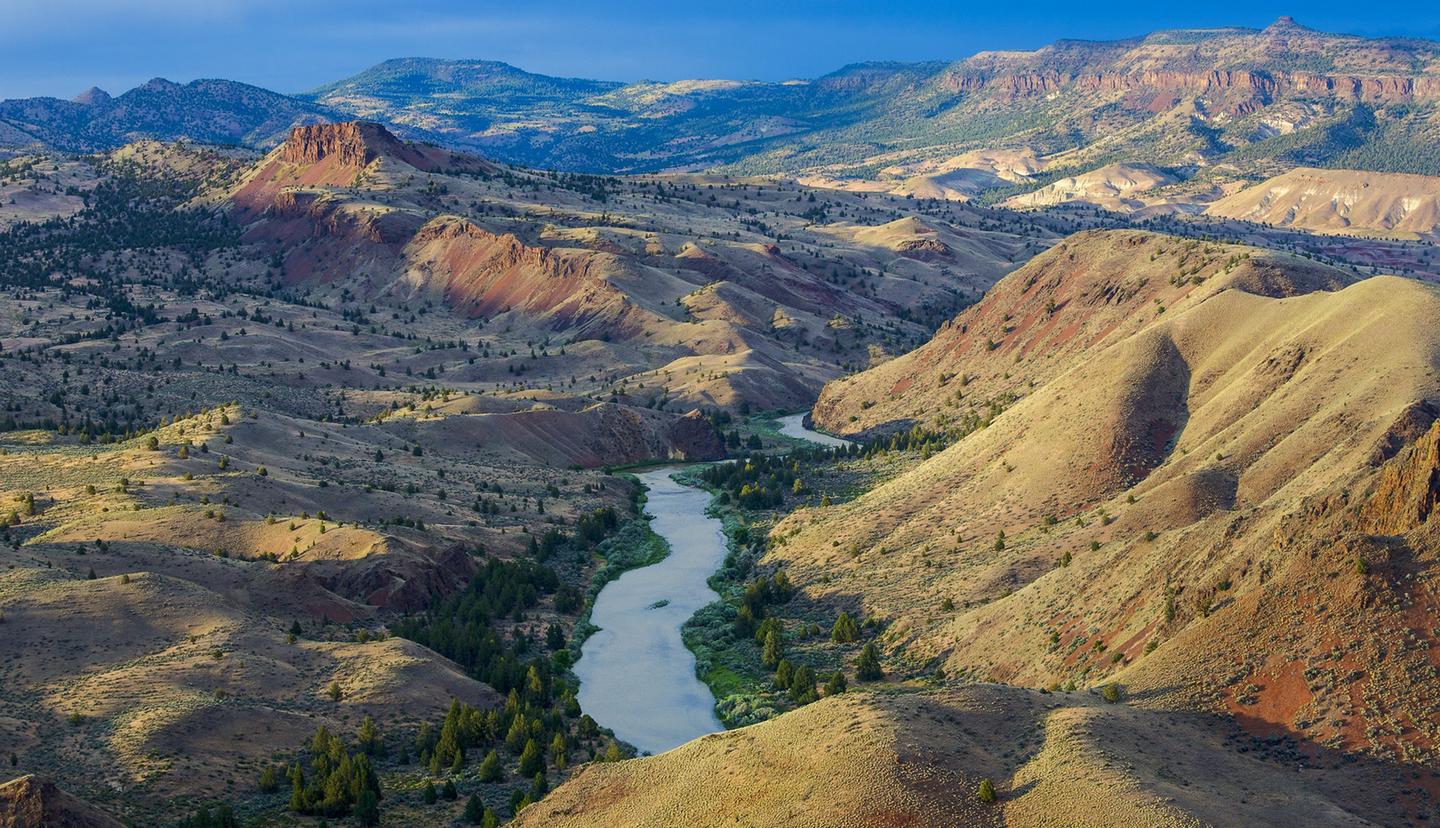
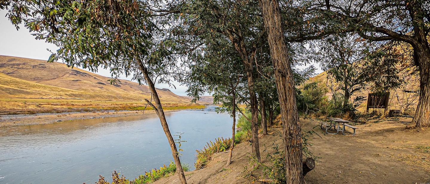
John Day Wild and Scenic River is managed by Bureau of Land Management and is located near Kent, Oregon.
From its headwaters to Camas Creek, the North Fork of the John Day River is one of the most important rivers in northeast Oregon for the production of anadromous fish. Wildlife found along the river's corridor include mule deer, elk, and black bears, along with peregrine falcons and bald eagles. Recreation opportunities include hunting, fishing, sightseeing, horseback riding, hiking, snowmobiling, skiing, camping, and whitewater rafting
The John Day River system is fortunate to have designation under two important river preservation programs: the National Wild and Scenic Rivers Act and the Oregon Scenic Waterways Act. Together, these two acts, one a federal program and one a state program, provide the best protection available today for the natural, scenic, and recreational values of our river environments.
For more information about the John Day River including what to know before you go, please visit: https://www.blm.gov/programs/recreation/permits-and-passes/lotteries-and-permit-systems/oregon-washington/john-day-river.
The John Day River is one of the longest free-flowing rivers in the continental United States and is the longest undammed tributary of the Columbia River.
John Day Wild and Scenic River offers 1 campground with various amenities and settings. From developed campgrounds with full facilities to primitive backcountry sites, there are options for every camping style.
Special permits are required for certain activities. Reserve your permits in advance to ensure access to popular areas.
Popular activities at John Day Wild and Scenic River include:
John Day Wild and Scenic River is a popular destination. Campground reservations typically open several months in advance. For peak season visits, book as early as possible. Check individual facility pages for specific booking windows and availability.
Service Creek : From Prineville, Oregon:Take US 26 east out of town and drive 46.5 miles to OR 207 N. Turn left and drive 23.5 miles. Service Creek Campground and boat launch will be on the right.
Clarno : From Prineville, Oregon:Take US 26 north out of town and drive 30 miles to US 97. Turn right and stay on US 97 for 19.5 miles. Turn right on OR 293 and proceed 13.6 miles to OR218 and turn right continuing another 15 miles to the Clarno Boat Launch on the left (north) side of the highway.
GPS Coordinates: 45.11004000000000, -120.46108000000000
Phone: 541-416-6700
Additional Information: