Buffalo Point
- Price:
- $20 - $50 per night
- Rating:
- 4.6 stars (619 reviews)
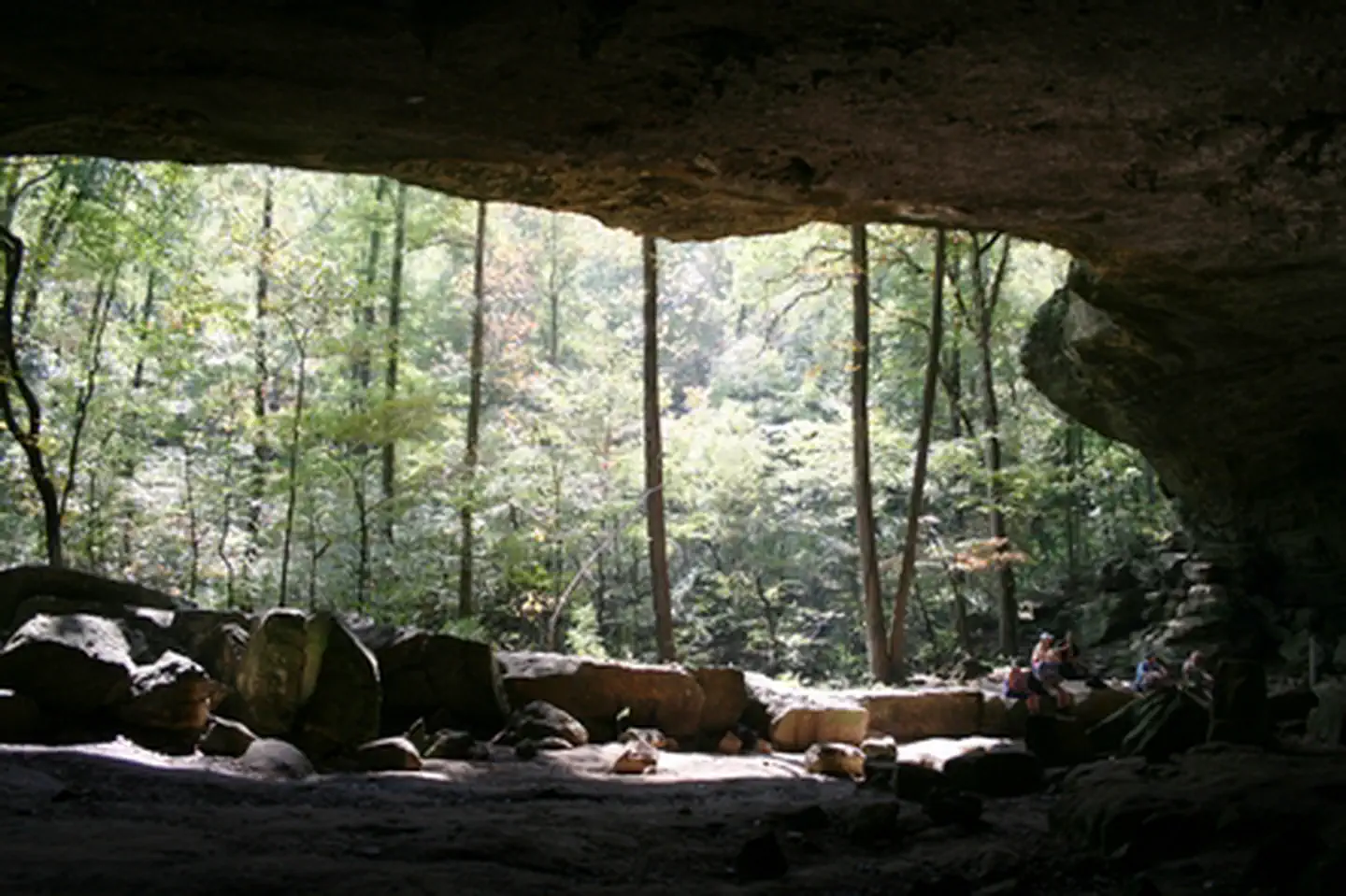
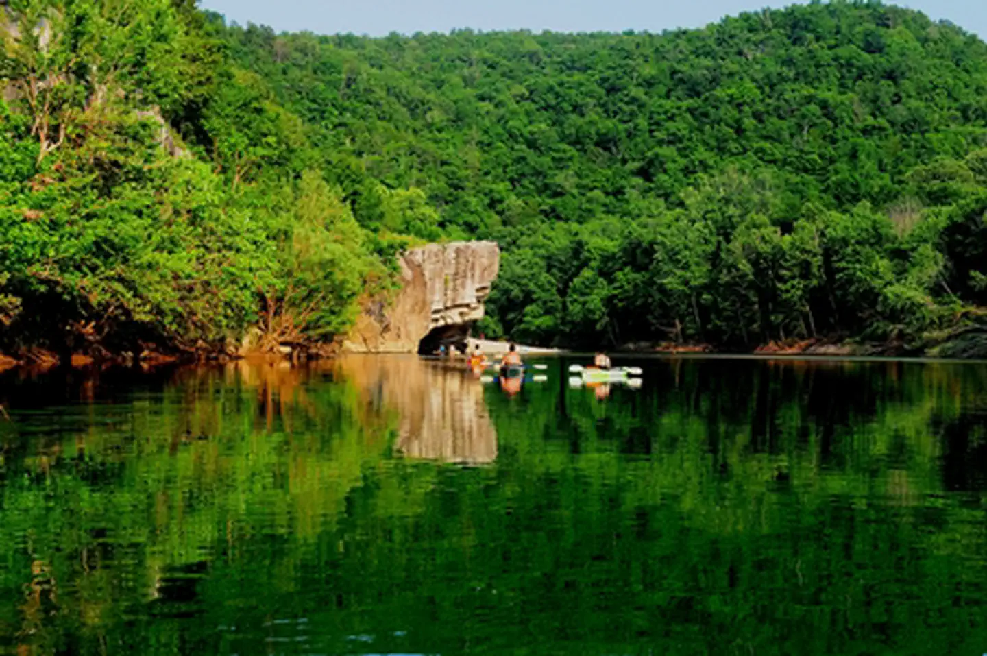
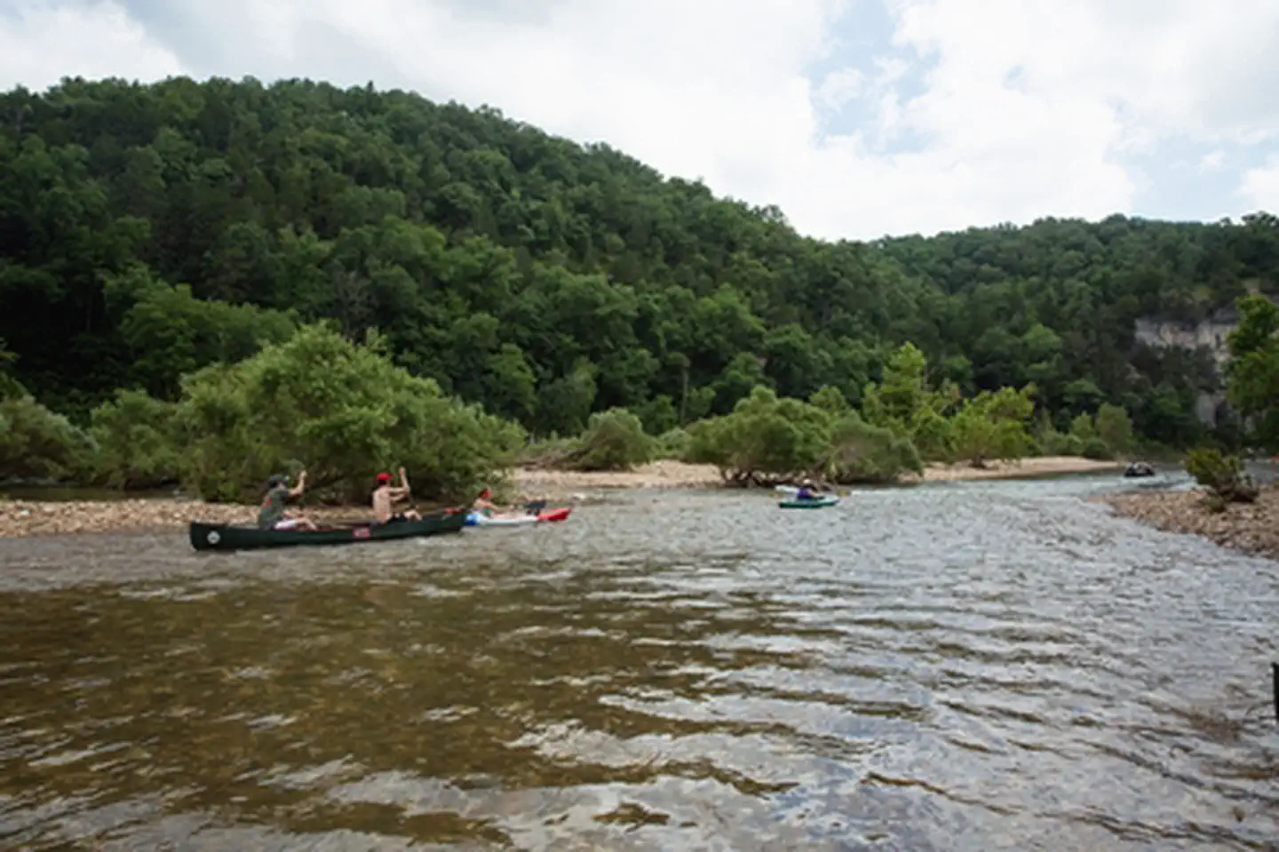
Buffalo National River is managed by National Park Service and is located near Western Grove, Arkansas. Established in 1972, Buffalo National River flows freely for 135 miles and is one of the few remaining undammed rivers in the lower 48 states. Once you arrive, prepare to journey from running rapids to quiet pools while surrounded by massive bluffs as you cruise through the Ozark Mountains down to the White River.
Buffalo National River offers 7 campgrounds with various amenities and settings. From developed campgrounds with full facilities to primitive backcountry sites, there are options for every camping style.
Popular activities at Buffalo National River include:
Buffalo National River is a popular destination. Campground reservations typically open several months in advance. For peak season visits, book as early as possible. Check individual facility pages for specific booking windows and availability.
Buffalo National River is a long, narrow park that is crossed by three main highways. Highways 7, 43, and 62/65 are the main roads out of Harrison, Arkansas that will take you to the Buffalo River, depending on which part of the park you wish to visit. GPS systems are not reliable in this area so please call ahead for directions or pick up a map of the area beforehand.
GPS Coordinates: 36.04116500000000, -92.90761600000000
Phone: (870) 439-2502
Additional Information: