Eastern Neck National Wildlife Refuge
Overview
Eastern Neck National Wildlife Refuge is managed by Fish and Wildlife Service and is located near Rock Hall, Maryland.
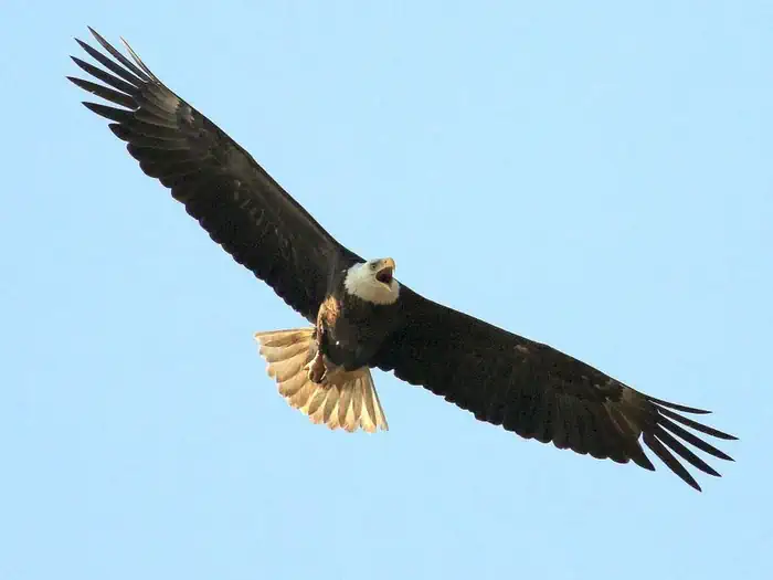
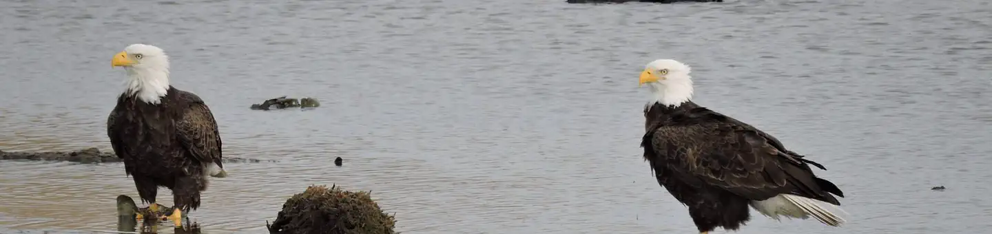
Eastern Neck National Wildlife Refuge (NWR) is an island of 2,285 acres located at the confluence of the Chester River and the Chesapeake Bay in Kent County, Maryland. Native Americans hunted here for thousands of years and the island was among the first areas settled by Europeans in the "New World." Established in December 1962, the refuge is a major feeding and resting place for migratory and wintering waterfowl on Maryland’s famed “Eastern Shore.” The varied habitats on Eastern Neck NWR, including brackish tidal marsh, forest, cropland, grassland, and open water impoundments, provide a home for a variety of wildlife species. The refuge holds the designation of Important Bird Areas by the Audubon Society. Over 240 species of birds and a variety of mammals, amphibians and reptiles inhabit the island.
Things to Do at Eastern Neck National Wildlife Refuge
Permits & Passes
Special permits are required for certain activities. Reserve your permits in advance to ensure access to popular areas.
Recreation Activities
Popular activities at Eastern Neck National Wildlife Refuge include:
Nearby Activities
- Biking
- Birding
- Boating
- Environmental Education
- Fishing
- Hiking
- Historic & Cultural Site
- Hunting
- Interpretive Programs
- Motor Boat
- Non-Motorized Boating
- Paddling
- Photography
- Picnicking
- Visitor Center
- Wildlife Viewing
Plan Your Visit
Reservation Tips
Eastern Neck National Wildlife Refuge is a popular destination. Check individual facility pages for specific booking windows and availability.
Getting There
From Chestertown, MD, take Route 20 west into the city of Rock Hall. Turn left at the flashing light onto Main Street (Route 445). Stay on Rt. 445 for 8 miles until you come to a small bridge. After crossing the bridge, you will be on Eastern Neck NWR. Once on the refuge, you will find an informational kiosk at the first pull-off. Signs will direct you to trails, the boat launch, points of interest, and the Visitor Contact Station.
The Visitor Contact Station is located approximately 2.5 miles south of the refuge entrance. A sign on the main road will direct you to the gravel road that leads to the Contact Station.
Please note: The Visitor Contact Station may be closed during its regular hours due to bad weather, high water events, or staffing shortages. We will make our best effort to post any refuge closures to this website and our Facebook page.
Please note that the refuge will be CLOSED on these dates for deer management hunts.
GPS Coordinates: 39.02182380000000, -76.22984000000000
Contact & Resources
Phone: 410-639-7056
Additional Information: